About this place
Chingkhei Ching is a reserved forest on the eastern edge of Imphal, adjoining the larger Nongmaiching reserved forest. It is a walking and birding ridge rather than a built attraction, and it has been repeatedly damaged by deliberate fires — a Joint Forest Management Committee issue reported in the local press.
How to reach
Eastern edge of Imphal, adjoining the Nongmaiching range.
Local tips
- Go early for birds; the ridge is exposed and hot by mid-morning.
Gallery
On the map
Chingkhei Ching reserved forest, Imphal East district · 24.8229°N, 93.9991°E
Chingkhei Ching
Chingkhei Ching reserved forest, Imphal East district
24.8229°N, 93.9991°E
Nearby places
Within an easy detour of Chingkhei Ching.
Photo: panthoi loitongbam / Google Maps
ParkImphal East
Kombirei Garden
RXFV+6H3, Lamlong-Tinsid Rd, Moirangkampu, Angom Leikai, Kangla Siphai, Manipur 795005, India
Named for the kombirei, the Manipuri iris — a cultural hook, though the rating is weak.
- Distance from Imphal
- 6.0 km from Imphal
- Time to allow
- 2 hrs
Entry: Entry details on page
Photo: Qurban Shah / Google Maps
HillImphal East
Yaralpat View Point
Sanjenbam Ching, R2F6+PX4, Lamlong-Tinsid Rd, Manipur 795005, India
Reviews: go at sunset.
- Distance from Imphal
- 8.0 km from Imphal
- Time to allow
- 2 hrs
Entry: Entry details on page
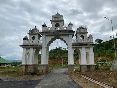
HillImphal East
Nongmaijing Hill
Nongmaijing Ching
Nongmaijing, east of Imphal
The valley's eastern sacred hill, an hour's climb from Imphal
- Distance from Imphal
- 18 km from Imphal
- Time to allow
- 3 hrs
Entry: Free entry
Photo: Pothashang / Google Maps
WaterfallImphal East
Baruni Hill Waterfall
Q2WG+7V6, Unnamed Road, Sanjenbam, Manipur 795005, India
Baruni hill is a Meitei sacred site — check the cultural protocol before promoting it.
- Distance from Imphal
- 9.0 km from Imphal
- Time to allow
- 2 hrs
Entry: Entry details on page