About this place
The Ithai Barrage impounds the Manipur river just below the confluence of the Imphal and Khuga rivers. Built to regulate Loktak's water level for the hydroelectric project, it effectively converted the lake into a reservoir — and is the single most contested piece of infrastructure in Manipur's environmental politics, blamed for the loss of migratory fish and the degradation of the phumdis. For a visitor interested in why Loktak looks the way it does, this is the explanation.
How to reach
South of Loktak, reachable from Moirang.
Local tips
- Photography around the barrage may be restricted — ask before you shoot.
- Read up on the Loktak Protection Act controversy first; the site means little without the argument around it.
Gallery
On the map
Ithai, Bishnupur district · 24.4230°N, 93.8400°E
Ithai Barrage
Ithai, Bishnupur district
24.4230°N, 93.8400°E
Nearby places
Within an easy detour of Ithai Barrage.
Photo: Mukesh Negi / Google Maps
HillBishnupur
Keibul Lamjao National Park View Point
FRF8+4M, Kha Thingungei, Manipur 795133, India
Keibul Lamjao National Park View Point
- Distance from Imphal
- 40 km from Imphal
- Time to allow
- 2 hrs
Entry: Entry details on page
WildlifeBishnupur
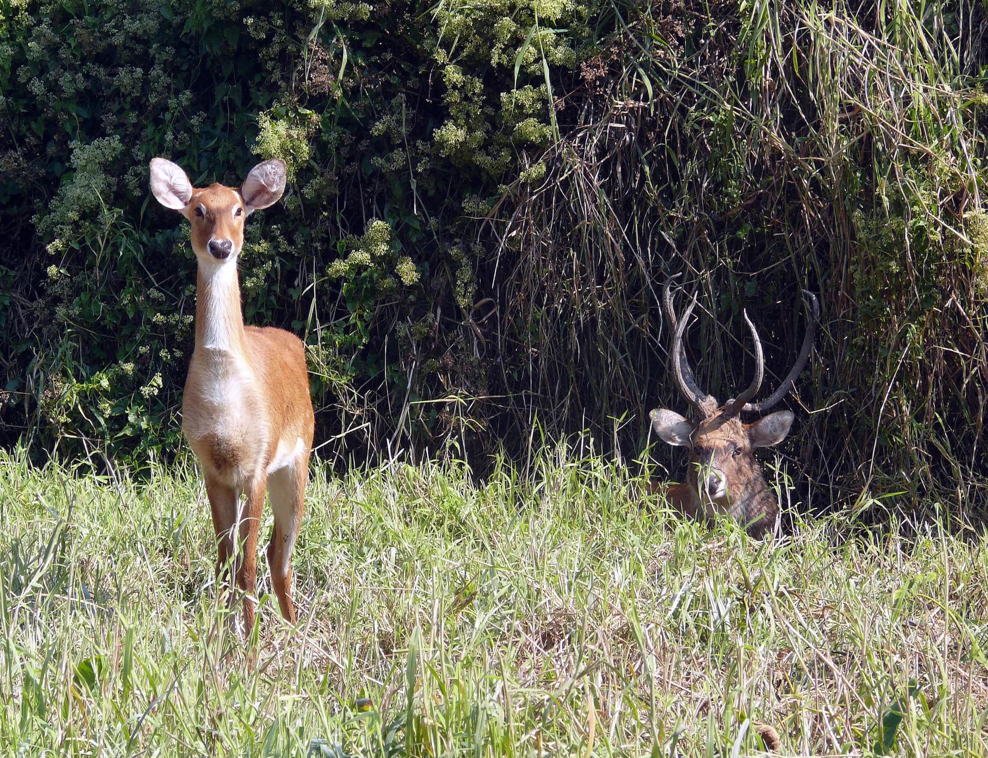
Keibul Lamjao National Park
Keibul Lamjao
Keibul Lamjao, near Moirang, Bishnupur district
The only floating national park on earth, and the last home of the sangai
- Distance from Imphal
- 53 km from Imphal
- Time to allow
- 4 hrs
Entry: Entry from ₹50
HillBishnupur
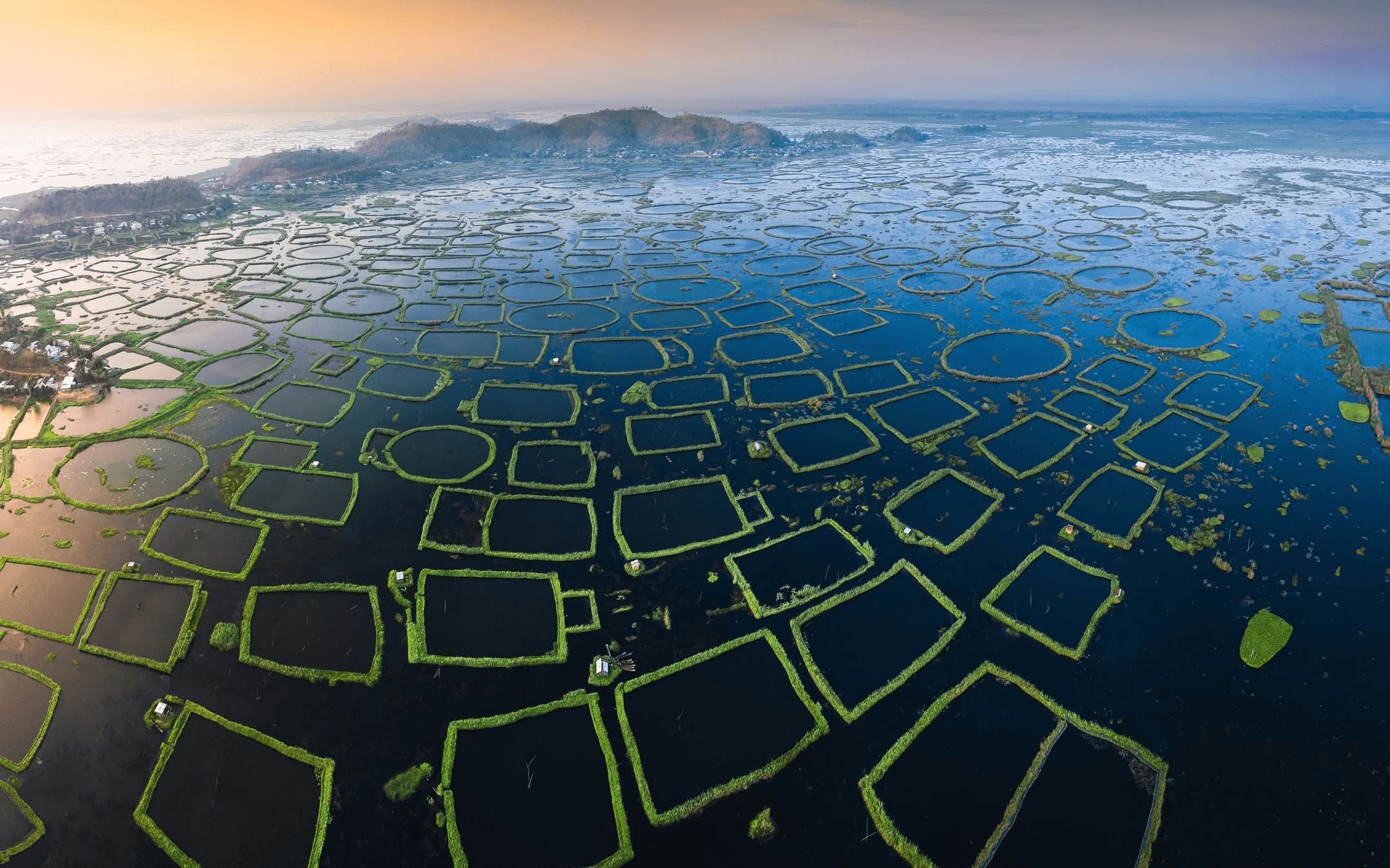
Sendra Island
Sendra
Sendra, near Moirang, Bishnupur district
The hillock viewpoint that gives Loktak its postcard
- Distance from Imphal
- 57 km from Imphal
- Time to allow
- 2 hrs
Entry: Entry from ₹20
Photo: Shalu S / Google Maps
ParkBishnupur
Omba and Nurathel Garden, Takmu Lake
GQ4V+9RV, Bishnupur, Manipur 795133, India
About 45 km from Imphal on Loktak. Adjacent to the Loktak Aquamarine homestay site at Takmu.
- Distance from Imphal
- 37 km from Imphal
- Time to allow
- 2 hrs
Entry: Entry details on page