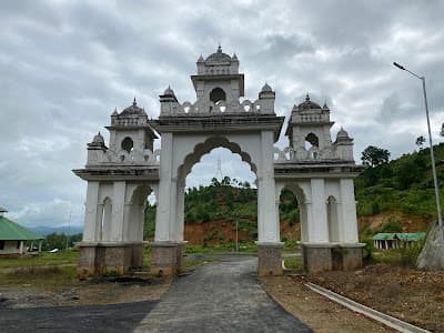
About this place
A wooded hillock near Yairipok, sacred to Manipuri Vaishnavites: Maharaja Bhagyachandra is said to have been told in a dream to carve the image of Govindajee from a jackfruit tree standing here. Shrines dot the slope, and the summit clearing looks out over the eastern valley. It is a pilgrimage place first and a viewpoint second.
How to reach
29 km east of Imphal via Yairipok; shared auto to Yairipok then a local vehicle to the base (₹200–300).
Local tips
- Dress modestly: this is an active pilgrimage site.
- The climb is short but steep; take water in summer.
- Andro village is 15 km north and makes a good pairing.
Gallery
On the map
Kaina, near Yairipok, Thoubal district · 24.7833°N, 94.0500°E
Kaina Hill
Kaina, near Yairipok, Thoubal district
24.7833°N, 94.0500°E
Nearby places
Within an easy detour of Kaina Hill.
Photo: Pothashang / Google Maps
WaterfallImphal East
Baruni Hill Waterfall
Q2WG+7V6, Unnamed Road, Sanjenbam, Manipur 795005, India
Baruni hill is a Meitei sacred site — check the cultural protocol before promoting it.
- Distance from Imphal
- 9.0 km from Imphal
- Time to allow
- 2 hrs
Entry: Entry details on page
VillageImphal East
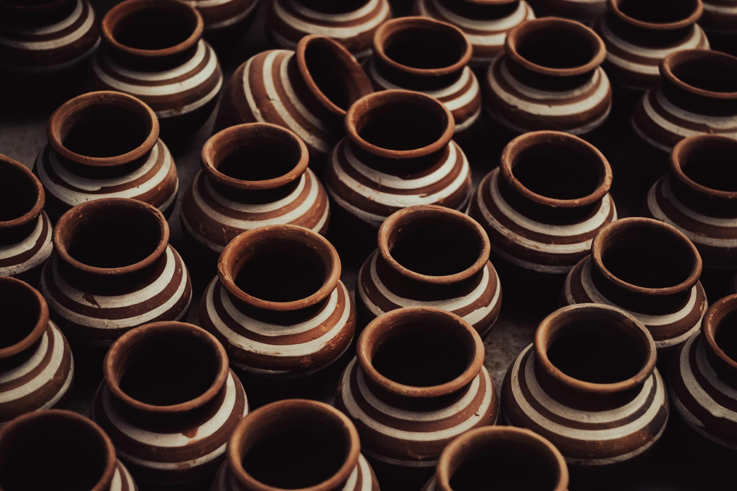
Andro Village
Andro
Andro, 25 km east of Imphal
Black pottery turned without a wheel, and a fire that has never gone out
- Distance from Imphal
- 25 km from Imphal
- Time to allow
- 3 hrs
Entry: Entry from ₹50
Photo: Vinayak Bishnoi 29 / Google Maps
ParkImphal East
Santhei Natural Park, Andro
Shanthei Natural Park
Andro, Imphal East district
A lake-and-woodland park on the edge of the potters' village
- Distance from Imphal
- 12 km from Imphal
- Time to allow
- 2 hrs
Entry: Entry from ₹10
HillImphal East
Nongmaijing Hill
Nongmaijing Ching
Nongmaijing, east of Imphal
The valley's eastern sacred hill, an hour's climb from Imphal
- Distance from Imphal
- 18 km from Imphal
- Time to allow
- 3 hrs
Entry: Free entry