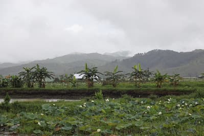
About this place
Kwatha sits in the hills of Chandel close to the Myanmar frontier, the easternmost Meitei settlement, with traditional houses, a strong village council tradition and forest on three sides. A handful of families run simple homestays, and the village has quietly become the model for community tourism in the border districts.
How to reach
About 95 km from Imphal on NH-102 toward Moreh, then a side road into the hills; arrange transport and a homestay in advance.
Local tips
- Book a homestay ahead through the village council: there are no walk-in options.
- Carry cash; there is no ATM and no card acceptance.
- Ask before photographing homes or village ceremonies.
Gallery
On the map
Kwatha, Chandel district · 24.3167°N, 94.2667°E
Kwatha Village
Kwatha, Chandel district
24.3167°N, 94.2667°E
Nearby places
Within an easy detour of Kwatha Village.
WildlifeChandel
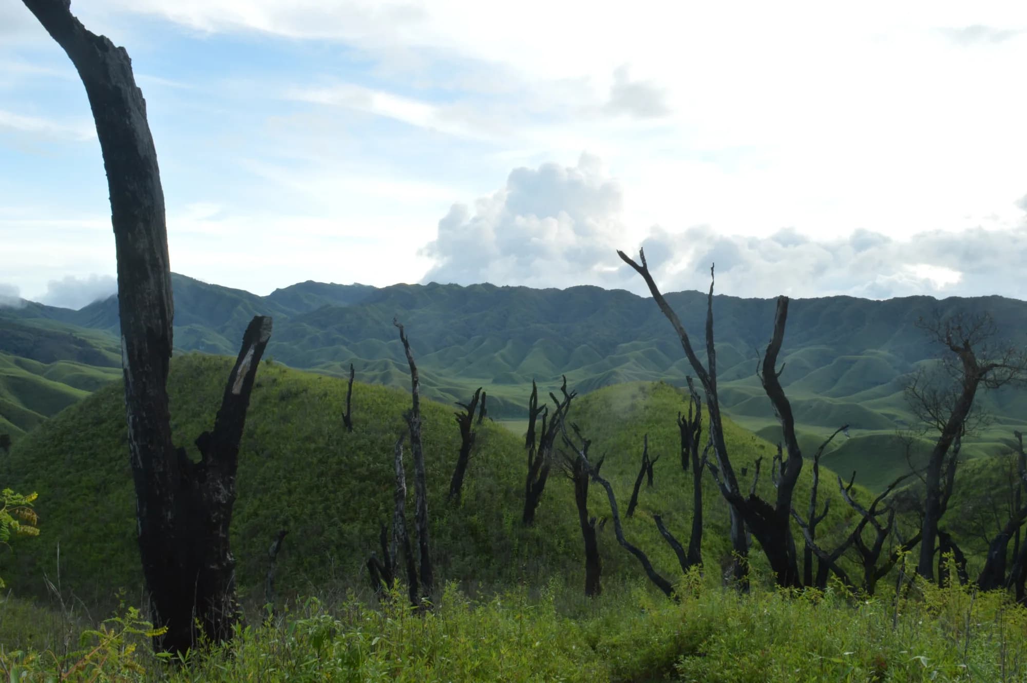
Yangoupokpi-Lokchao Wildlife Sanctuary
Along NH-102 between Tengnoupal and Moreh, Chandel district
Tropical forest on the Myanmar frontier
- Distance from Imphal
- 90 km from Imphal
- Time to allow
- 5 hrs
Entry: Permit required
MarketTengnoupal
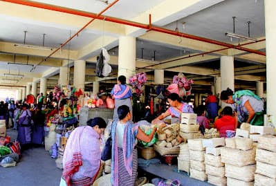
Moreh
Moreh town, Tengnoupal district
India's doorway to Myanmar and the markets that come with it
- Distance from Imphal
- 110 km from Imphal
- Time to allow
- 4 hrs
Entry: Free entry
Photo: gautam raikwar / Google Maps
HillImphal West
Langol Peak Garden
G339+MRX, Thoubal, Manipur 795135, India
Reviews single it out for sunrise and sunset. Close to Imphal — an obvious addition to a city itinerary.
- Distance from Imphal
- 37 km from Imphal
- Time to allow
- 2 hrs
Entry: Entry details on page
Photo: Ajay Bhaiti / Google Maps
ParkThoubal
Mamang Ching Pukhri
F2WC+872, Kakching, Manipur 795103, India
Mamang Ching Pukhri
- Distance from Imphal
- 37 km from Imphal
- Time to allow
- 2 hrs
Entry: Entry details on page