About this place
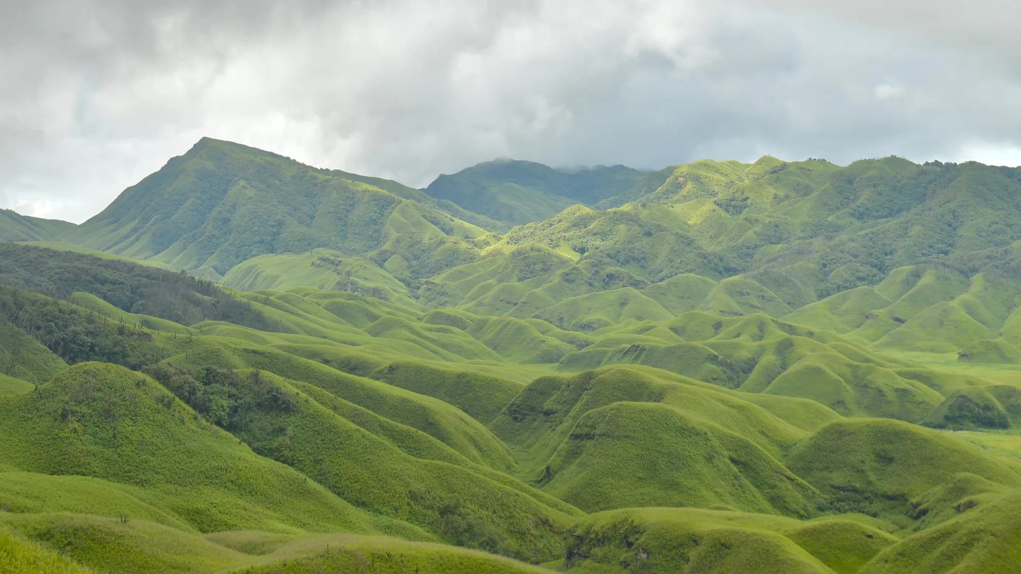
Parbung is one of the main settlements of Pherzawl district, a Hmar village spread across high ridges with long views into the Barak country. It is remote, hospitable and almost entirely off the tourist map: the kind of place where arriving means being introduced to the village council.
How to reach
Roughly 180 km from Imphal via Churachandpur on rough hill roads; count on 10–12 hours and a 4WD. Arrange a host before leaving.
Local tips
- Never travel this route without a confirmed local contact.
- Carry fuel, cash and a satellite-independent plan; coverage is intermittent.
- Check district advisories carefully before committing to the journey.
Gallery
On the map
Parbung, Pherzawl district · 24.2667°N, 93.1667°E
Parbung
Parbung, Pherzawl district
24.2667°N, 93.1667°E
Nearby places
Within an easy detour of Parbung.
VillagePherzawl
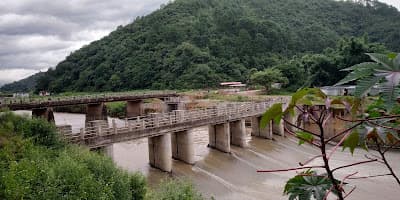
Tipaimukh
Tipaimukh, Pherzawl district
Where the Barak and Tuivai rivers meet at the state's far southwest
- Distance from Imphal
- 230 km from Imphal
- Time to allow
- 6 hrs
Entry: Free entry
Photo: Aleng Th Gangte / Google Maps
HeritageUkhrul
Longpi (Nungbi) Black Pottery Village
Nungbi
Longpi Khullen and Longpi Kajui, Ukhrul district
Pottery made from crushed serpentine stone, without a wheel
- Distance from Imphal
- 62 km from Imphal
- Time to allow
- 2 hrs
Entry: Entry details on page
CaveChurachandpur
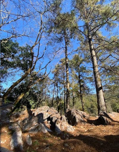
Tonglon Cave
Near Tuibuong, Churachandpur district
A long, largely unexplored cave in the southern hills
- Distance from Imphal
- 65 km from Imphal
- Time to allow
- 4 hrs
Entry: Entry from ₹500
 Step-free
LakeChurachandpur
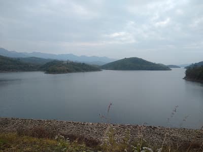
Khuga Dam
Mata, near Churachandpur town
A wide reservoir under the Churachandpur hills
- Distance from Imphal
- 63 km from Imphal
- Time to allow
- 2 hrs
Entry: Entry from ₹10