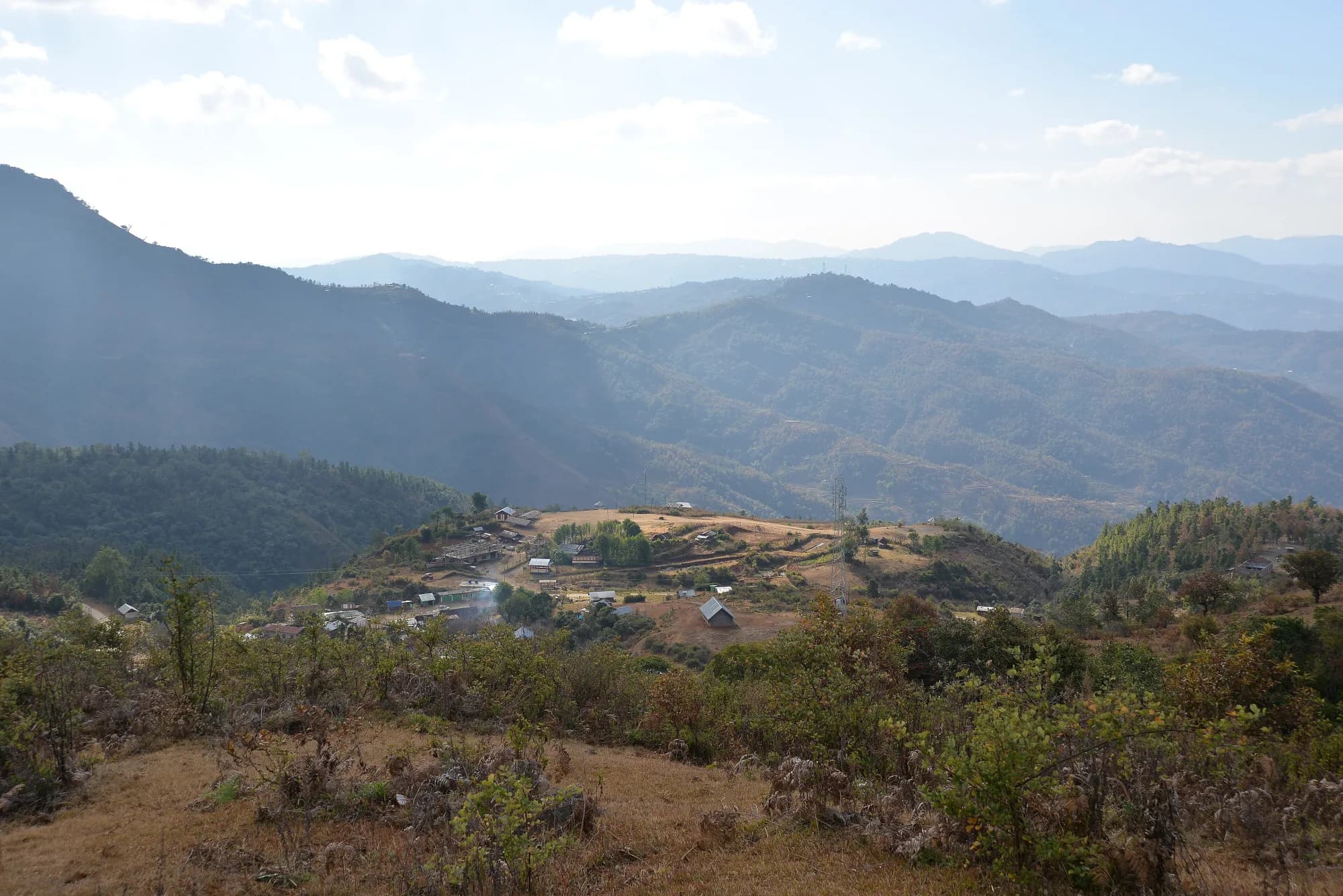
About this place
A hill in Ukhrul district named by Manipur Tourism among the district's destinations, alongside Shirui and the Khangkhui caves. Published detail is minimal.
The history
Listed officially but with no description anywhere. Verify on the ground before publishing as a visitable destination.
How to reach
From Ukhrul town; ask at the district tourism office.
Local tips
- Confirm access locally — this is a name on a list rather than a developed site.
Gallery
On the map
Ukhrul district · 24.9777°N, 94.7010°E
Ango Ching
Ukhrul district
24.9777°N, 94.7010°E
Nearby places
Within an easy detour of Ango Ching.
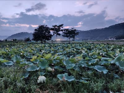
LakeKamjong
Kachouphung Lake
Near Kasom Khullen, Kamjong district
A hidden hill lake in Manipur's newest district
- Distance from Imphal
- 130 km from Imphal
- Time to allow
- 4 hrs
Entry: Free entry
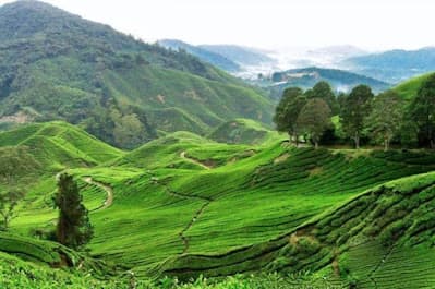
HillUkhrul
Khayang Peak
Near Ukhrul town, Ukhrul district
Ukhrul's grassland summit, quieter than Shirui
- Distance from Imphal
- 88 km from Imphal
- Time to allow
- 6 hrs
Entry: Free entry
Photo: Khangkhui Phungdhar Harva Khangai / Google Maps
ParkUkhrul
Khangkhui Phungdhar Harva Khangai
Khangkhui Phungdhar Harva Khangai, Manipur 795142, India
Reviews describe primitive camping. Near the Khangkhui caves in Ukhrul.
- Distance from Imphal
- 57 km from Imphal
- Time to allow
- 2 hrs
Entry: Entry details on page
Photo: Kh Izaz / Google Maps
LakeUkhrul
Phangrei Lake
4FW9+X5P, Ukhrul, Manipur 795142, India
Ukhrul district. Reviews describe it as a trekking peak and overnight camping base — a real adventure-tourism asset.
- Distance from Imphal
- 65 km from Imphal
- Time to allow
- 2 hrs
Entry: Entry details on page