About this place
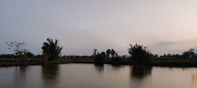
Pumlenpat is a broad shallow wetland between Kakching and Thoubal, filling and shrinking with the season. It is an important feeding ground for waterbirds and a working fishery, with reed beds and long horizons rather than the phumdi drama of Loktak. Better for birders than for boat rides.
How to reach
About 40 km from Imphal via Thoubal or Kakching; a hired vehicle is needed for the bund roads.
Local tips
- Bring binoculars and a scope if you have one; the birds are distant.
- The bund roads flood in monsoon. Go in the dry months.
- Ask fishing families before walking onto their sections.
Gallery
On the map
Between Sugnu and Thoubal, Kakching district · 24.5333°N, 93.9167°E
Pumlenpat
Between Sugnu and Thoubal, Kakching district
24.5333°N, 93.9167°E
Nearby places
Within an easy detour of Pumlenpat.
LakeThoubal
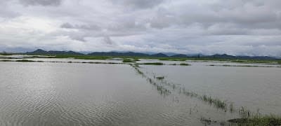
Ikop Pat
Near Kakching Khunou, Thoubal district
A calm valley lake with almost no visitors
- Distance from Imphal
- 38 km from Imphal
- Time to allow
- 2 hrs
Entry: Free entry
ParkKakching
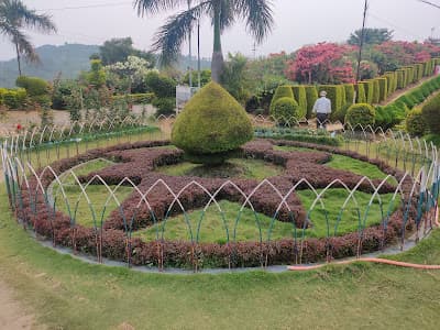
Kakching Garden
Kakching town, Kakching district
A terraced hillside park built around a WWII-era pond
- Distance from Imphal
- 45 km from Imphal
- Time to allow
- 2 hrs
Entry: Entry from ₹10
Photo: Neeraj K Pandey / Google Maps
HillBishnupur
Loktak Lake View Point
Loktak Lake, Manipur
Loktak Lake View Point
- Distance from Imphal
- 31 km from Imphal
- Time to allow
- 2 hrs
Entry: Entry details on page
HillBishnupur
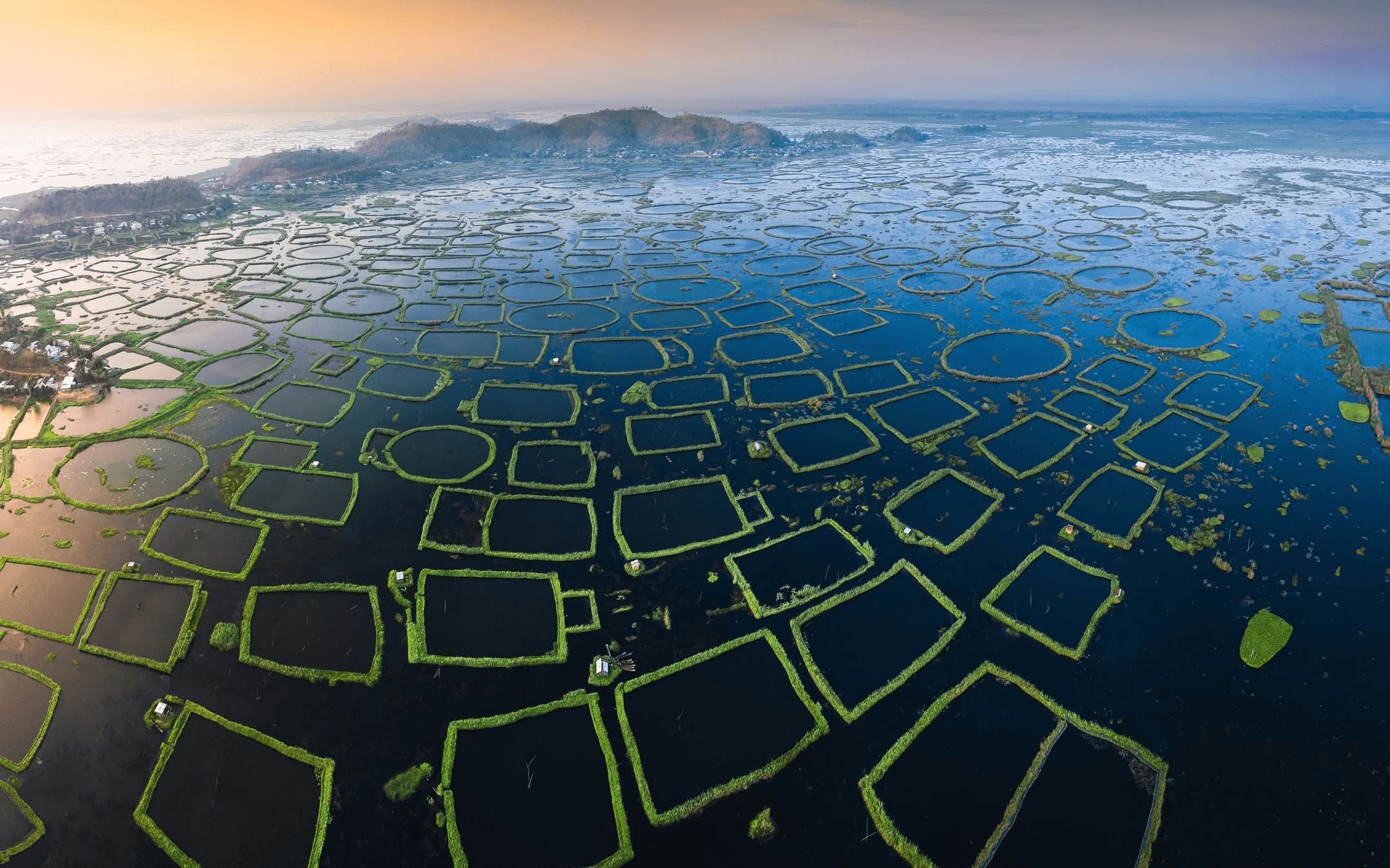
Sendra Island
Sendra
Sendra, near Moirang, Bishnupur district
The hillock viewpoint that gives Loktak its postcard
- Distance from Imphal
- 57 km from Imphal
- Time to allow
- 2 hrs
Entry: Entry from ₹20