About this place
Tuilut Waterfall, Churachandpur.
Gallery
On the map
XM32+W6C, Tamenglong, Manipur 795159, India · 24.9548°N, 93.6505°E
Tuilut Waterfall
XM32+W6C, Tamenglong, Manipur 795159, India
24.9548°N, 93.6505°E
Nearby places
Within an easy detour of Tuilut Waterfall.
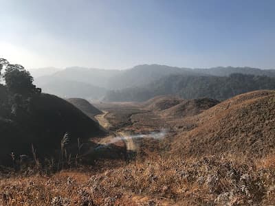
HillTamenglong
Buning Meadow
Buning, Tamenglong district
Open grassland camping above the Tamenglong forests
- Distance from Imphal
- 170 km from Imphal
- Time to allow
- 1 day
Entry: Free entry
Photo: Noney tourism / Google Maps
ParkChurachandpur
Noney Tourism
Jiribam - Imphal Rd, Noney, Manipur 795159, India
Likely the Noney district viewpoint near the world's tallest railway pier bridge. Confirm what the pin actually marks.
- Distance from Imphal
- 32 km from Imphal
- Time to allow
- 2 hrs
Entry: Entry details on page
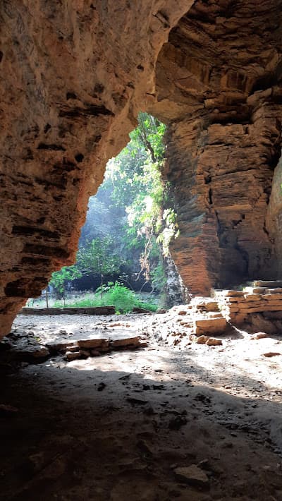
CaveTamenglong
Tharon Cave
Tharon village, 27 km from Tamenglong town
A 650-metre cave system with more than thirty mouths
- Distance from Imphal
- 177 km from Imphal
- Time to allow
- 5 hrs
Entry: Entry from ₹100
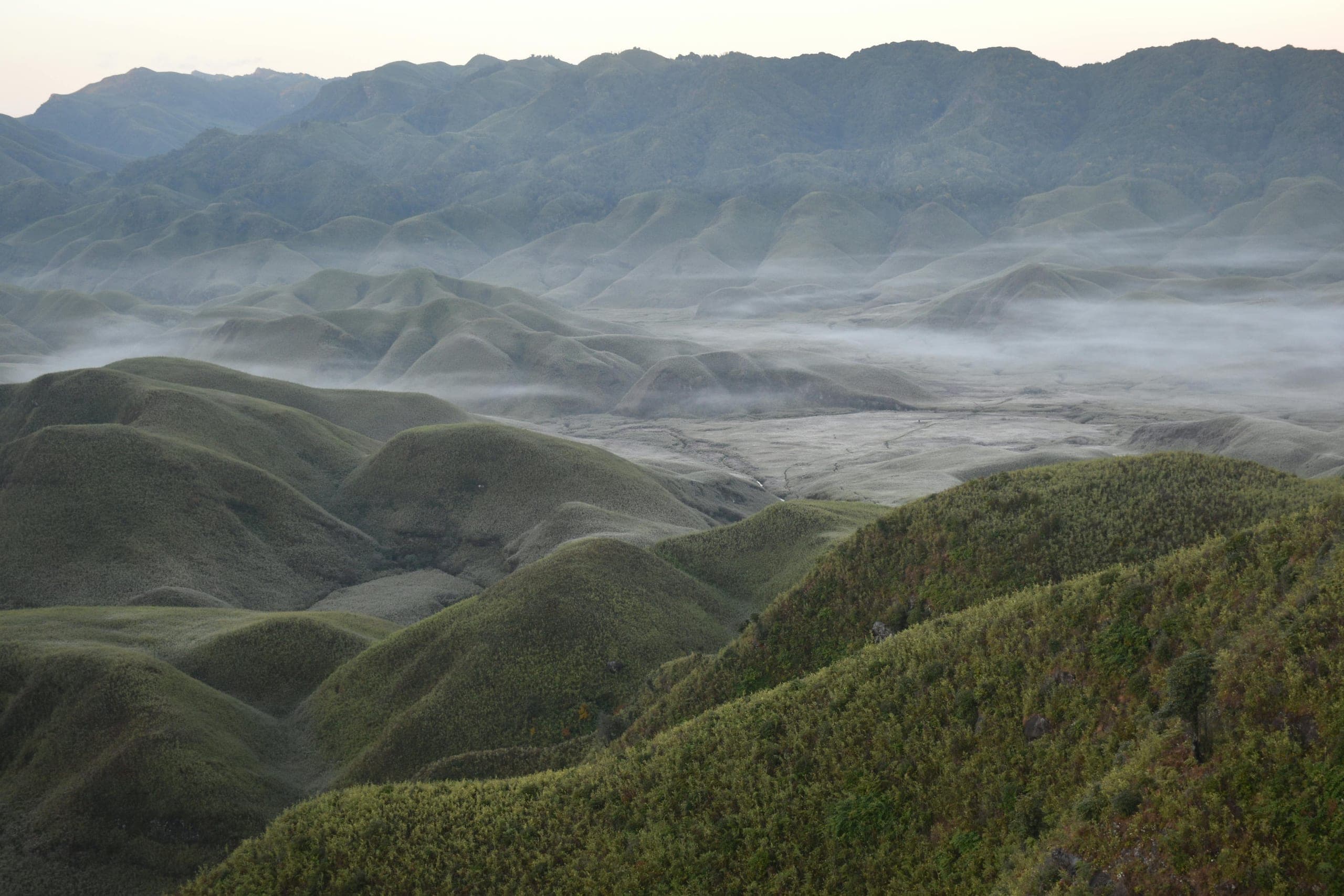 Step-free
HeritageNoney
Noney Railway Bridge Viewpoint
Near Noney town, on the Imphal–Jiribam road
The world's tallest railway pier bridge, rising out of a jungle gorge
- Distance from Imphal
- 65 km from Imphal
- Time to allow
- 1½ hrs
Entry: Free entry