About this place
A waterfall in Chandel district, named by Manipur Tourism as one of the district's two headline destinations alongside Moreh. It sits on the corridor running south-east towards the Myanmar border.
How to reach
From Chandel town on the Imphal–Moreh road (NH-102).
Local tips
- Chandel is a border district — carry photo ID and check current travel advisories.
Gallery
On the map
Chandel district · 24.8858°N, 93.3929°E
Bro Waterfall
Chandel district
24.8858°N, 93.3929°E
Nearby places
Within an easy detour of Bro Waterfall.
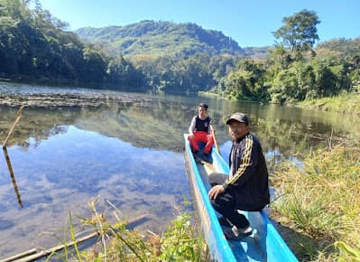
LakeTamenglong
Zeilad Lake
Zeilad Wildlife Sanctuary, Tamenglong district
A chain of sacred lakes with an old python legend
- Distance from Imphal
- 175 km from Imphal
- Time to allow
- 4 hrs
Entry: Free entry
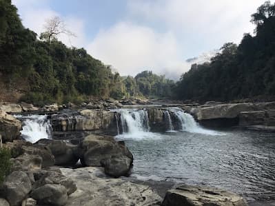
WaterfallTamenglong
Barak Waterfall
Near Tamenglong town, Tamenglong district
Seven falls on the young Barak river
- Distance from Imphal
- 155 km from Imphal
- Time to allow
- 5 hrs
Entry: Free entry
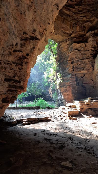
CaveTamenglong
Tharon Cave
Tharon village, 27 km from Tamenglong town
A 650-metre cave system with more than thirty mouths
- Distance from Imphal
- 177 km from Imphal
- Time to allow
- 5 hrs
Entry: Entry from ₹100
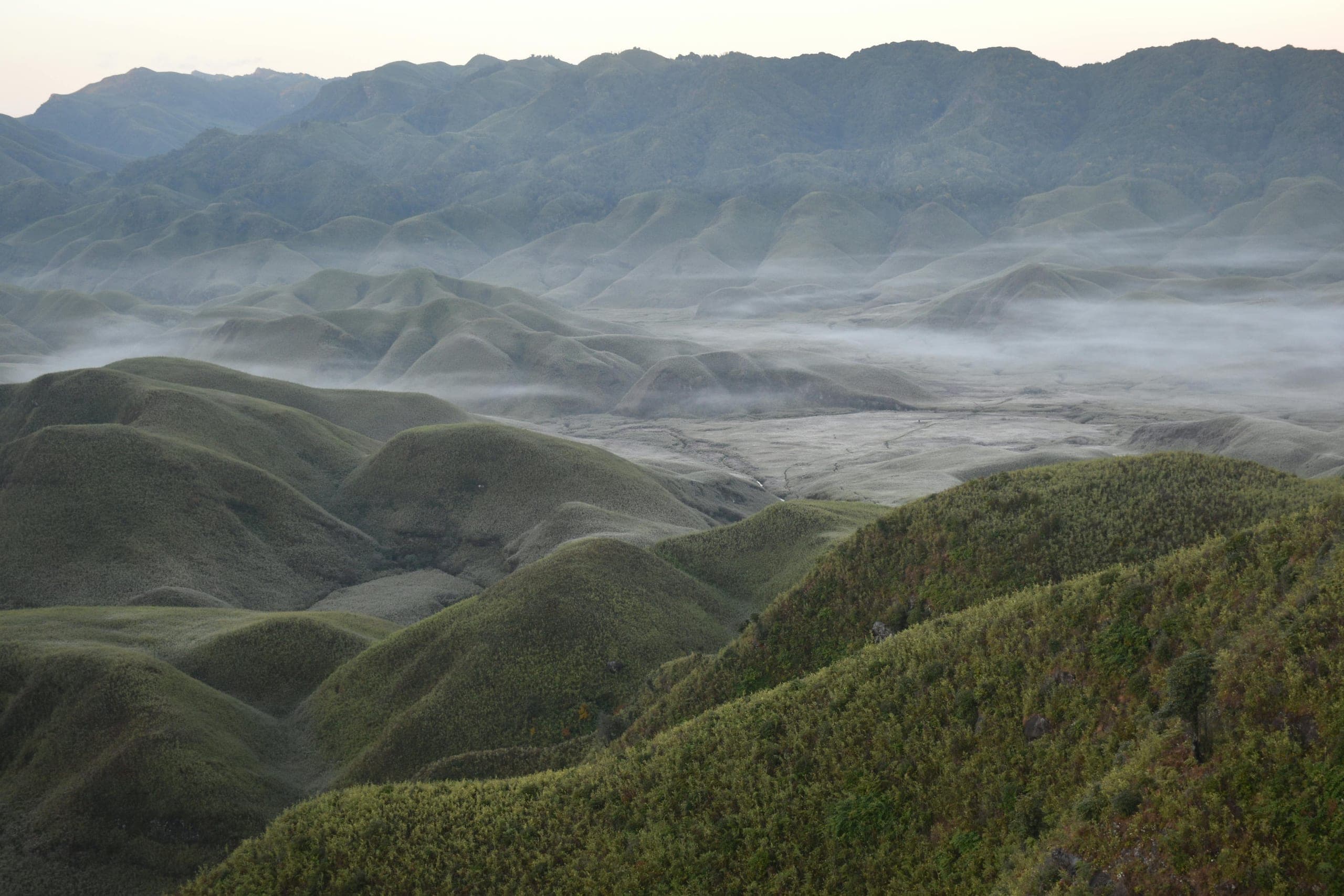 Step-free
HeritageNoney
Noney Railway Bridge Viewpoint
Near Noney town, on the Imphal–Jiribam road
The world's tallest railway pier bridge, rising out of a jungle gorge
- Distance from Imphal
- 65 km from Imphal
- Time to allow
- 1½ hrs
Entry: Free entry